• High Quality Boundaries At The Best Price

    Neighborhoods, Subdivisions, School Attendance Zones, School Districts, Zip Codes & More

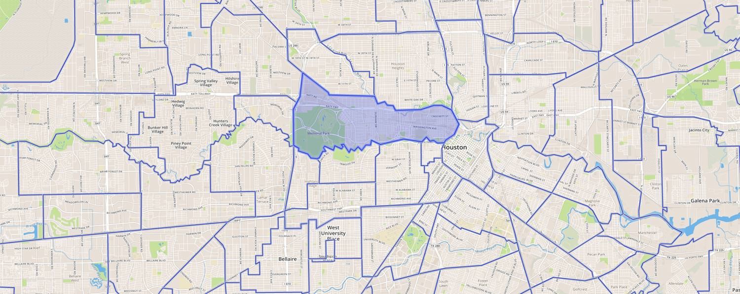
    map showing the neighborhood boundaries in houston
Menu
  • School Zones
  • School Districts
  • Neighborhoods
  • Subdivisions
  • Property Parcels
  • Buildings
  • Other Boundaries

Easy Integrate Boundaries Into Your Web Or Mobile Applications

Home Junction datasets are unified as a result of unique IDs between all data objects. What it means: As an example, you can use a neighborhood ID to pull related schools, demographics, recent sales, market trends, and so much more for just that target area. This unification allows you to preserve your engineering budget because we have done the work for you in trying the datasets together.

Important Boundary Specifications

CharacteristicsGeospatial. Hyper-local. Multi-tier.
QualityExtreme High Quality! Best in Industry!
FormatsJSON, XML, or Well-Known-Text (EWKT)
Ideal ForEnterprises, Applications, Real Estate Brokers & Agents, Custom Websites
Boundary TypesNeighborhoods, Subdivisions, School Attendance Zones, School Districts, Property Parcels, Buildings, Zip Codes, Cities, States, Counties, MLS, Custom
CoverageNational
AttributionNone required (make it your own)
DeliveryAPI or Bulk
Courtesy UseUniversities, Schools, & Government Agencies
GuaranteeIf we don’t already have it, we’ll research it and digitize it for you FREE-of-charge for National Deals.

School Attendance Boundaries

Did you know that in some states, your school attendance zone is different based on what grade you are in? We knew that, and built our layer accordingly!
Request A Sample
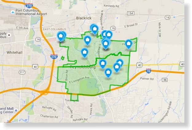
school attendance zone boundaries on google map
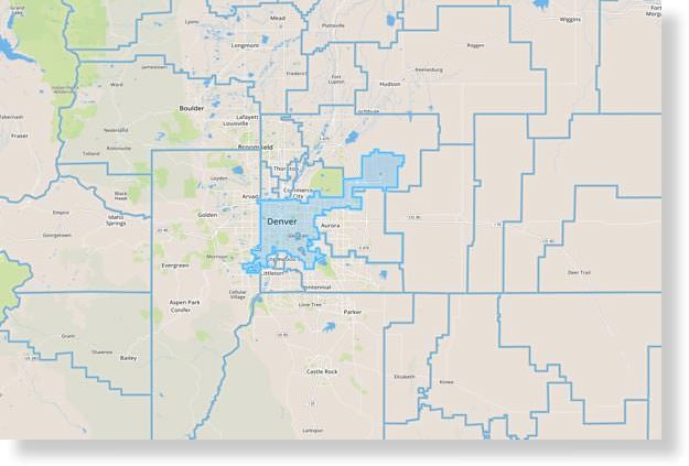
school district boundaries on google map

School District Boundaries

A national layer that is a staple for real estate search applications and websites. Consumers care about schools and their related districts, attendance zones, characteristics, and overall quality.
Request A Sample

Home Junction has proprietary algorithms to populate our boundaries with demographics for just the footprint of the boundary. What this means: Our demographics for our shapes like neighborhoods, school districts, school attendance zones, etc… represent the demographics of just the neighborhood (and not the entire zip code). That makes your application far more accurate and enlightening for your website traffic.  Ask us about packages that include data.

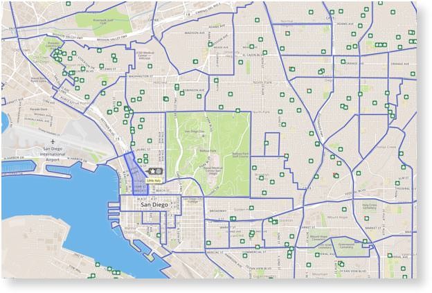
Neighborhood Boundaries

Sourced by real estate professionals, MLSs & brokers, this layer is industry best-of-breed and is perfect for use as search filters, hyperlocal comparisons, and area characteristics for geographic or lifestyle marketing.
Request A Sample
neighborhood boundaries on a google map
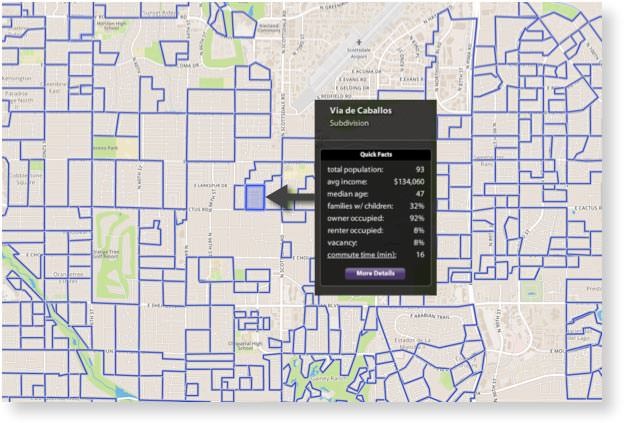
subdivision boundaries on google map

Subdivision Boundaries

Subdivisions are useful for hyperlocal display and search capability, in addition to adding powerful capabilities to your long tail SEO strategy. Also great to use as geo-points and area information to demonstrate a local expertise.

Request A Sample

Delivery

We offer API access or data downloads to deliver your area boundaries

Implementation

Slipstream API will save your team valuable development time in integrating boundaries

Support

Get unlimited live technical support from our veteran Engineering team every step of the way

Reliability

Our State-of-the-art redundant platform ensures your boundary data is always live and fast

Property Parcel Boundaries
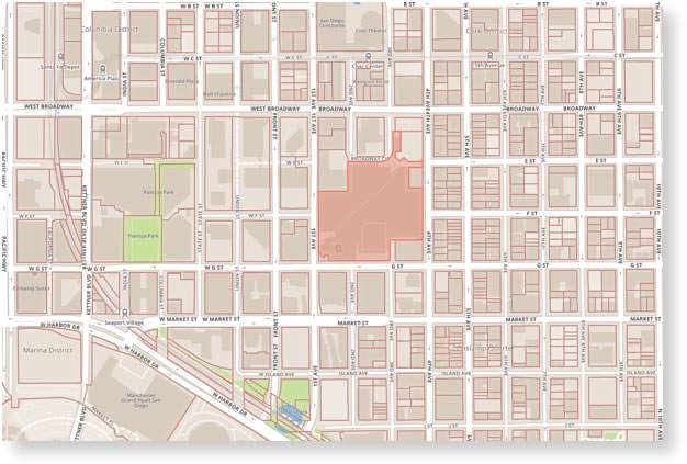
Nearly 100 million property parcels and/or parcel points ready for your real estate applications, analytic reports, distance & area measurements, and much more.
Request Sample
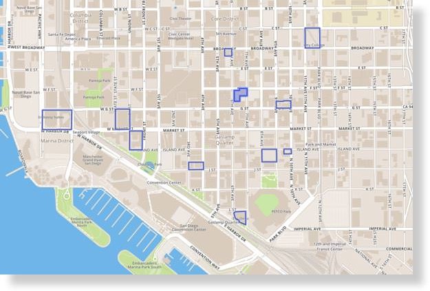
property parcel boundaries on google map
building boundaries on a google map

Building Boundaries

This is a build-to-spec layer that is perfect for major metro areas with diversity between buildings & styles. A low, mid, or high-rise building is a specialty purchase and you or your destination site can become a specialist quickly.

Request A Sample
Berkshire Hathaway Home Services Logo
Better Homes and Gardens Real Estate Logo
Century 21 Real Estate Logo
Coldwell Banker Real Estate Logo
Exit Realty Logo
John L Scott Real Estate Logo
Keller Williams Real Estate Logo
Leading Real Estate Companies of the World Logo
Long & Foster Real Estate Logo
ReMax Real Estate Logo
Prudential Real Estate Logo
Realty Executives Logo
Sotheb'y International Realty Logo
Weichert Realtors Logo
Windermere Real Estate logo

Other Available Area Boundaries

map showing state boundaries

State Boundaries

There aren’t many of these shapes in a national layer, but when you need em, you need em!  Useful for filtering data for organizations with a national footprint.
county boundaries on a google map

County Boundaries

The 3,144 shapes in this seamless national layer are excellent for understanding demographics and shifts, creating and comparing macro trends, and much more.
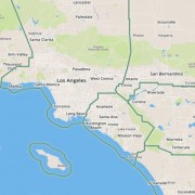
city boundaries on a google map

City Boundaries

This is a comprehensive layer that describes cities, towns, villages, and population centers that resemble cities but are not incorporated and lack their own government.
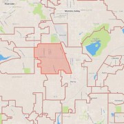
zip code boundaries on a google map

Zip Code Boundaries

This national layer is expected by consumers in your real estate search and filter applications. It is also interesting when used for making national comparisons.

Help Us Get You The Right Information

  • Please list the metros or states you need coverage in.
  • This field is for validation purposes and should be left unchanged.

Answering a few simple questions helps us to get you the right information.  The more you can tell us about your project needs, the better we can serve you with the information to help you make a discussion.  We look forward to assisting you.

4141 Jutland Drive
Suite 335
San Diego, CA 92117

858.777.9533 (main)
help@homejunctionoffers.com (support)

Scroll to top